Lars Schwarz · 11 October 2026
Community-Led Mapping Projects Uncover Hidden Water Flow Patterns Beneath Persistent Snow Cover in Northern Highlands
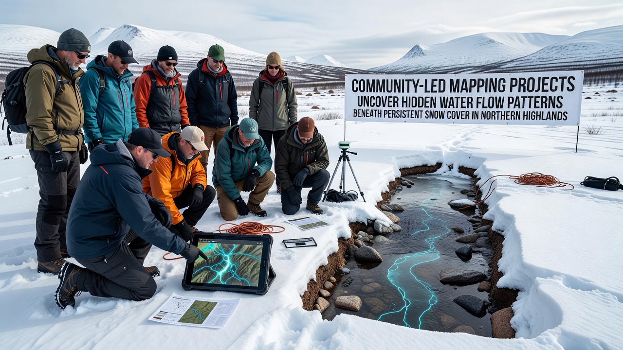
Community groups across northern highland regions have launched coordinated mapping initiatives that combine local observations with portable sensor technology to trace water movement under year-round snow layers. These efforts focus on areas where traditional satellite imagery often misses subtle drainage channels because thick snow masks surface indicators throughout much of the year. Participants record GPS coordinates, measure soil moisture at exposed edges, and note temperature gradients that signal flowing water beneath the insulating snow pack. Researchers from multiple institutions have supplied training sessions that teach volunteers how to deploy ground-penetrating radar units and simple dye-tracing kits without disturbing fragile alpine soils. Data collected during these outings feeds into shared digital platforms where patterns emerge over successive seasons. One project operating in the Canadian Rockies documented previously unmapped tributaries that connect to larger river systems only after spring melt accelerates, and similar work in the Norwegian highlands has identified spring-fed pools that remain liquid under deep snow because of geothermal contributions.Methods That Combine Local Knowledge With Technical Tools
Volunteers begin each survey by walking established transects while carrying lightweight probes that register electrical conductivity changes indicative of liquid water. They mark locations where conductivity spikes occur and cross-reference those points against historical air photographs taken before heavy snow accumulation. Teams then return during shoulder seasons when partial melt exposes small openings, allowing insertion of temperature loggers that record continuous readings through the following winter.
October 2026 marks the start of an expanded phase for several groups, with additional funding allocated for multi-spectral cameras mounted on small drones that fly at low altitudes once early snow has stabilized. These flights capture reflectance differences that distinguish wet snow from dry snow, revealing linear features consistent with subsurface channels. Data from the drones integrates with ground measurements through open-source software maintained by university geography departments.
Key Discoveries and Their Hydrological Implications
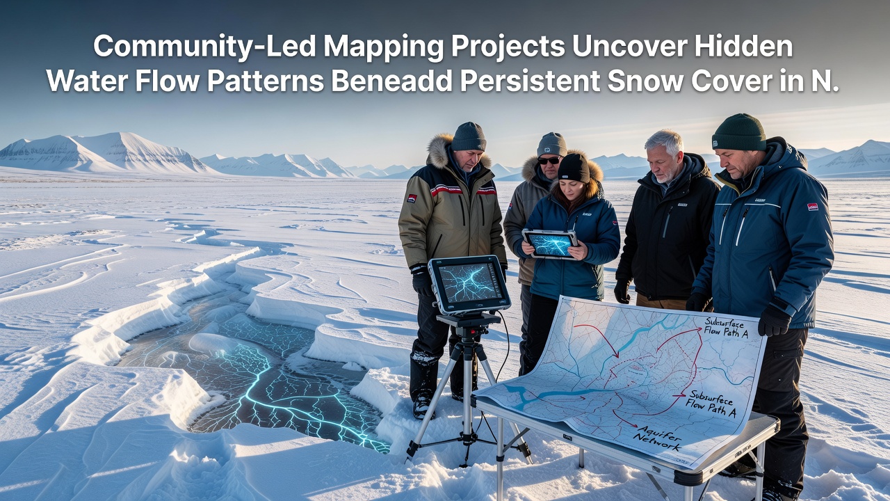
Mapping teams have identified dozens of previously undocumented flow paths that carry water from high-elevation cirques into valley aquifers even when surface streams appear frozen. In several catchments the volume of these hidden flows accounts for a measurable portion of baseflow recorded at downstream gauges operated by national water agencies. Figures released by Environment and Climate Change Canada show that incorporating community-collected points into hydrological models improved winter discharge predictions by noticeable margins in test basins.
One study area in the Scottish Highlands revealed that certain snow patches overlie perennial seeps fed by fractured bedrock aquifers, and these seeps maintain consistent temperatures near 4 degrees Celsius year-round. Such thermal stability supports microbial communities that influence nutrient cycling once meltwater reaches lower elevations. Observers note that these findings align with broader datasets maintained by the US Geological Survey on snow hydrology interactions in similar latitudes.
Integration With Regional Water Resource Planning
Local authorities have begun incorporating the community-generated maps into watershed management plans because the data fills gaps left by sparse official monitoring networks. In regions where snow persists for eight or more months, standard stream gauges capture only a fraction of the annual water budget. Updated maps allow planners to adjust reservoir release schedules and anticipate periods when subsurface contributions may offset reduced surface runoff during dry spells.
Academic partners have published preliminary analyses that compare community data against outputs from regional climate models, highlighting locations where snow insulation effects appear stronger than previously estimated. These comparisons rely on shared repositories rather than single-agency collections, which broadens the geographic coverage without requiring additional government field crews.
Conclusion
Community-led mapping continues to supply detailed spatial information that complements institutional monitoring programs across northern highland zones. The combination of volunteer fieldwork, accessible sensor technology, and open data platforms has produced new layers of understanding about water movement under persistent snow. As projects advance into late 2026 and beyond, the accumulated records offer a growing resource for hydrologists, land managers, and researchers who study cold-region water cycles.