Sofia Lorenz · 27 September 2026
Snowpack evolution in isolated highland valleys reveals historical climate patterns through layered ice formations and advanced sensor monitoring techniques
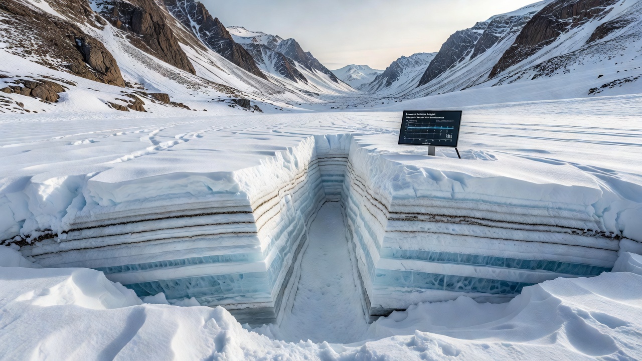
Isolated highland valleys accumulate snow in distinct annual layers that compress into ice over time, and each stratum preserves records of temperature fluctuations, precipitation amounts, and atmospheric composition from the year it formed. Researchers examine these layers through core samples that reveal dust particles, chemical isotopes, and trapped air bubbles, which together map climate conditions spanning centuries. Data from these formations show shifts such as warmer intervals during the medieval period and colder phases aligned with the Little Ice Age, while advanced sensors now capture real-time changes in snow density and melt rates across remote sites.
Layered Formations as Climate Archives
Highland valleys in regions like the Canadian Rockies and the European Alps collect snow during winter storms, and subsequent layers build up with varying crystal structures depending on wind speed and temperature at the time of deposition. Observers note that summer melt events create distinct boundaries between layers, which later compact under pressure from new snowfalls above them. Chemical analysis of these boundaries indicates historical events including volcanic eruptions that deposited sulfate aerosols and periods of increased wildfire activity recorded in charcoal particles. Studies from multiple valleys demonstrate consistent patterns where thicker layers correspond to years with higher snowfall totals, while thinner sections mark drought conditions that affected regional water supplies downstream.
Sensor Networks and Monitoring Advances
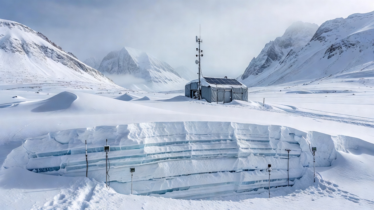
Automated stations equipped with thermistors, acoustic depth sensors, and ground-penetrating radar units transmit measurements every few hours from locations that remain inaccessible during winter months. These devices record snow water equivalent values along with temperature gradients through the pack, and the resulting datasets integrate with satellite observations to produce basin-wide maps. As of September 2026, upgraded sensor arrays installed in several valleys have begun delivering higher-resolution profiles that distinguish between fresh surface snow and deeper firn layers. Research indicates that combining ground sensor readings with LiDAR scans allows calculation of ablation rates during spring melt, which in turn informs models of streamflow timing for downstream communities.
Regional Case Examples
One study in the Sierra Nevada tracked snowpack evolution over fifteen seasons and documented a progressive rise in average mid-winter temperatures that shortened the period of stable snow cover by nearly three weeks. Similar work conducted in the Andes showed how dust deposition from distant arid zones accelerates melt by lowering surface albedo, while sensors captured corresponding increases in runoff volume during early spring. Data collected across these sites reveal that isolated valleys often preserve clearer signals than exposed ridges because wind redistribution remains minimal and layers stay intact for longer periods.
Integration with Broader Climate Records
Scientists cross-reference snow core data with tree-ring chronologies and lake sediment cores to build multi-proxy reconstructions that extend the observational record beyond the instrumental era. Figures from the National Snow and Ice Data Center illustrate how snowpack trends in North American highlands align with larger atmospheric circulation changes recorded in the Arctic. European monitoring programs meanwhile contribute parallel datasets that highlight differences in accumulation patterns between maritime and continental climates. These combined records help calibrate global climate models that project future snow conditions under various emissions scenarios.
Challenges in Data Collection
Remote valley locations present logistical hurdles including limited access windows and extreme weather that can damage equipment, yet field teams have developed lightweight portable drills and solar-powered data loggers to address these constraints. Calibration of sensors remains essential because ice deformation and sensor drift can affect long-term accuracy, and repeated visits during summer allow verification against manual measurements. Observers report that wireless transmission networks now reduce the need for frequent site visits while still delivering near-continuous streams of temperature and depth information.
Conclusion
Snowpack evolution studies in isolated highland valleys continue to supply detailed climate histories preserved in layered ice and supported by expanding sensor networks that operate year-round. The combination of physical core analysis and real-time instrumentation produces datasets that track both past variability and current trends, and these records support water resource planning as well as scientific understanding of regional climate dynamics. Continued expansion of monitoring infrastructure promises additional resolution in coming years while maintaining the integrity of the natural archives stored in the ice itself.